About
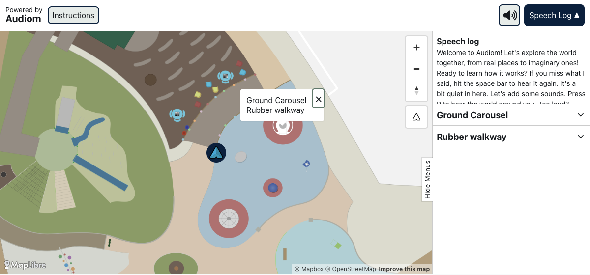
Audiom from XR Navigation is the first digital map everyone can use. It was launched April 2024. You can view and create maps in Audiom visually, auditorily, and through text on any platform. You can access Audiom through headphones, a screen, and or a braille display. Most geographic maps are inaccessible to low literacy, blind, low vision, mobility impaired, colorblind, and many other disabled users, which is against the law. Typical geographic maps are read as “blank” to blind users, for example. Turn-by-turn directions, tables, or other kinds of alternative text remove the spatial information that makes a map a map. Audiom can be placed alongside an existing visual map to make it accessible. It can also completely replace an existing inaccessible map viewer. It runs on the same geographic data that the visual map runs on. Audiom is EAA, 508, 504, ADA, and Web Content Accessibility Guidelines (WCAG) AAA compliant. It can bring this compliance to any existing visual only map. Audiom shows maps for data analytics (thematic) and navigation maps (referential). Audiom has been used for showing referential maps like campuses, exhibit halls, airplane seat maps, and buildings. It has also shown thematic maps like eclipse and disease maps. Additionally, Audiom can show complex spatial diagrams including anatomic, circuit boards, and blueprints.
Developed by
XR Navigation
Industry
Information Technology
Year awarded
2025